If you haven’t used Google Earth in a while, maybe you haven’t seen what has happened! Ready for it? Google Earth is now online! No more clunky desktop apps that need to be downloaded! All you need is a computer, Chromebook, laptop and an internet connection. Have students go to earth.google.com to get started!
Here are 3 ways to use google earth to engage your students:
-
-
- Take a Virtual Field Trip
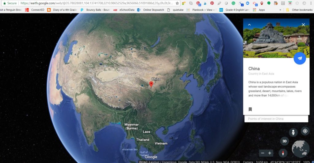
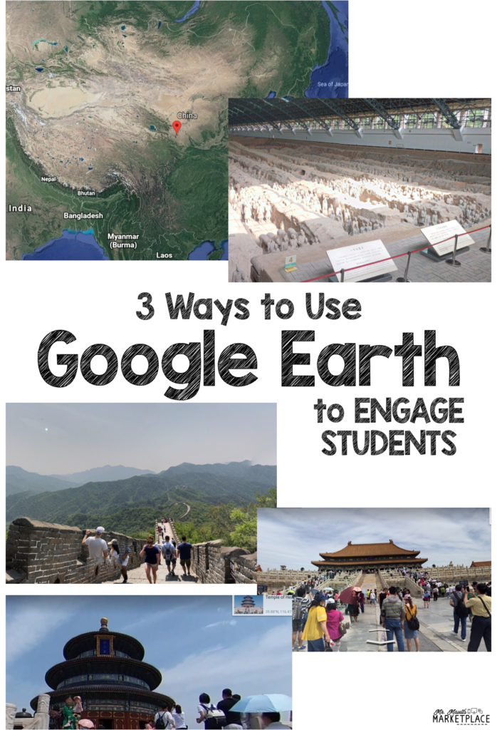
This may be the easiest way to get your feet wet with the online version of Earth. Honestly, all you really need to do is choose the place you want your students to visit, go to Google Earth, type in the location, and then grab the URL from the page. For example, if you want your students to take a tour of China, start by typing in “China” in Earth. It will take you to a big overview of just the country of China. Then, maybe you want to get a little more specific with what you want your kids to see. Next, type in “Great Wall of China.” This will take you right to the Great Wall. Again, grab the URL (copy using “Ctrl+C” and paste using “Ctrl+V”) from the page for your kids. Now, where do you put all of the links? I guess that depends on how you decide to share this with your kids. I share them in Google Slides and include a place for students to write their comments. See how I share below the image!
I have a bunch of these created already and call them Explore and More activities.
Explore and More China- Click here to check out this sample! Explore and More Bundle- Click here for the Bundle!You can also snag the Explore and More DO IT YOURSELF activity here!
- Take a Virtual Field Trip
2. Make a Pic CollageIf you’re not really looking for students to follow a plan like described above, have students choose their own country to research. Maybe you want to give students a few parameters and then let them go! Here is a sample of what you could give to kids.Directions: Choose a country and make a poster collage of what you find. Here is what you need to include on your poster:
*A school in your country.
*Famous sites (up to 4).
*The official governmental leader’s office (ex. USA would be the White House).
*Natural landforms that make up the country.
*A flag of the country (MUST be found in a Google Earth image!)You can show students how to take a screenshot of each of the place they visit/find and then make a collage of these photos within Google Slides! This is a wonderful project to use as a center or for the start of a study on a new country you will be teaching in class.
 3. Book Tours!
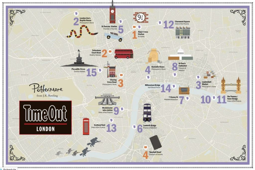
If you are an ELA teacher or an elementary teacher who may teach all subjects, this is a great way to check out various places the characters in your story visit. For example, maybe you have kiddos reading Harry Potter, there are many real-life locations mentioned in the stories. You can send students through these locations as you are reading about them OR as an end-of-book activity. I prefer to give students links as we are reading a story, so they can visualize IRL what they are reading about. If you search the internet for you book and famous locations associated with that book, I am sure you will find a list of addresses, that is if your book lends itself to this. Obviously, 100% fictional novels may not have actual locations in them.Here is a map of some famous sites in Harry Potter in which students could visit!
 I would absolutely love to know how you are using Google Earth in the classroom! Leave a comment letting us know how you use this with your students!I hope you found these 3 ways to use google earth to engage your students helpful!
-DanYou may also be interested in these blog posts:
*Learning about Digital Escape Rooms -